Lost Rath of Rathdown Lower


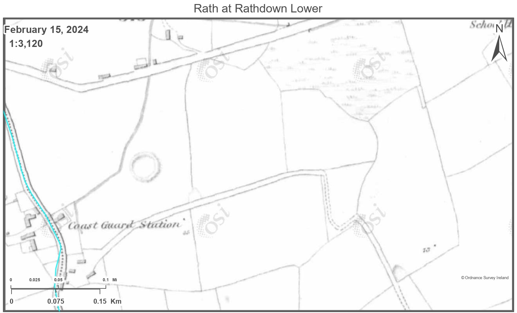
This rath was on the north side of the western end of Church Lane in Greystones, west of the house called Knockrath, map reference on the Wicklow 6 inch O S sheet is 8,87cm S, 36.8cm W.
In March 1953 Liam Price records in his note books, that the Rath had entirely disappeared. He also records that the entire site was “dug over and messed about”. The site was ten to twelve feet above a steam located to the west of the rath. The site was dug in the late 1920’s for sand. Though, Price did remember seeing a large mound in the field in the early 1900’s when he was a child, and he used to call it “the field with the hill in it”. In an earlier notes book Price questions whether the mound was actually a Rath, though early Ordinance Survey Maps show the mound as a rath.
Bibliography
Price, Liam The Price Notebooks, Volume 1 and Volume 2, (editors Christiaan Corlett and Mairead Weaver), An Roinn Comhshaoil agus Rialtais ítiúil / Department of the Environment and Local Government, 2002


No Comments
Add a comment about this page