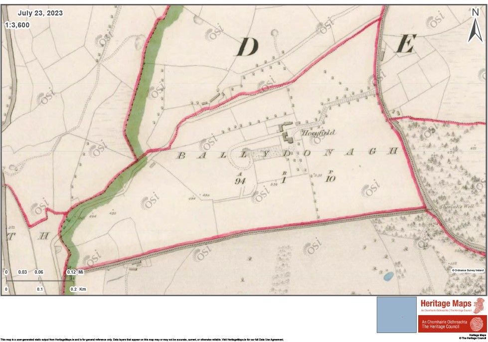
Moate at Ballydonagh

In the 19th Century O’Curry recorded a fine moate at Ballydonagh close to Delgany. Though he record that only a mound of 6.5metres high, with a flat top remained. This site has been badly damaged by a gravel pit, with most of it having been quarried away.
Ballydonagh may be the same site named Villa Uduread which the MacGiollamocholmog family of Rathdown Castle gave to the priory of the Holy Trinity between 1172 and 1176, which in 1326 formed part of the archbishop’s manor of Shankill, where 60 acres were held by John Walrant.
In Liam Price’s Place Names of Co. Wicklow, he records that Ballydonagh was the territory of Domhnall MacGiollamocholog, chief of Ui Dunchadha. He suggest that the moate may have been the remnant of a fortress of Domhnall, which was abandoned after the Anglo Norman invasion of Dublin in 1171, when his descendants established themselves at Rathdown.
Bibliography:
Hannigan, Ken; Nolan, William, PhD , Wicklow : history & society, Geography Publications, Templeogue, Dublin, 1994.


No Comments
Add a comment about this page